Last Updated on June 10, 2023
The move towards creating a system for indoor positioning that works, in locations such as airports, shopping malls, and other large indoor spaces, is edging closer!
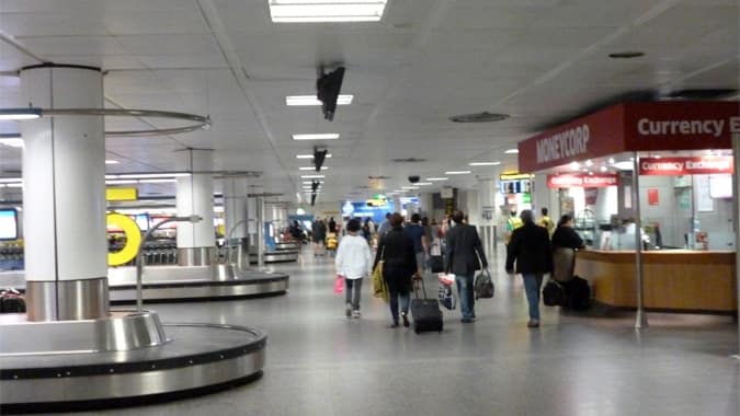
Gatwick Airport recently announced the implementation of a new indoor wayfinding system, which uses Blue Dot technology and makes augmented wayfinding possible.
The implementation of indoor mapping has proven to be problematic until now, hence the willingness by Gatwick to invest so heavily in the hardware needed.
Below I will explain more about the issues around mapping indoor environments, what exactly blue dot technology and augmented reality are in respect of mapping, how these technologies are currently used, their benefits, challenges and future opportunities.
Table of Contents
How Does Indoor Mapping Work?
Many of us are very familiar with the use of Global Positioning Systems (GPS) such as when we use Google Maps on a mobile device, a SatNav system in a car, or on an app such as CityMapper.
Technology has long been developed that enables direction finding (wayfinding) to take place very accurately on these devices and apps.
Indeed, it could be assumed that mapping is possible anywhere nowadays.
Trying to map indoor spaces and environments, however, has long been problematic, as GPS signals indoors are notoriously inaccurate.
The signals have difficulty passing through buildings, with features such as walls and roofs causing interference with the signals.
The best solution, so far, to attempt mapping large indoor spaces, are relatively expensive beacons. These beacons are often roughly the size of a human hand and are designed to use Blue Dot Technology.
Blue Dot Technology allows for very accurate indoor positioning, although a large number of these devices are needed in order to ensure that every corner or area of an indoor location, such as Gatwick Airport, is fully mapped.
Gatwick Airport, as a part of their £2.5 billion technology overall plan, has invested a significant budget in their wayfinding strategy, both in virtual systems for mobile devices and in more traditional signage, that does not rely on mobile gadgets.
The beacons, once installed, are able to communicate with tools such as smartphones via low energy Bluetooth signals, providing accurate positioning information to the phone or other devices.
Augmented Reality (AR) can further enhance the user experience (UX) by transmitting imagery onto devices so that users can be directed to specific locations.
In Gatwick Airport, for example, the Blue Dot technology transmits positioning information to the phone, whilst AR enables a route, such as to a specific departure gate or shop, to be shown on the phone via directional arrows or some other graphics.
It is also possible to show directions on a camera view using AR.
Other Uses of These Technologies in Indoor Positioning & Wayfinding
The uses of these technologies in indoor environments are particularly interesting when one considers the types of locations in which they might be used in the future, such as in shopping malls, superstores, airports, and conference venues.
The combination of Blue Dot technology with its ability to help locate positioning, combined with AR, leads towards wayfinding which takes us away from the traditional concept of trying to simply guide users from A to B as quickly as possible.
Indeed, the user experience can be improved by guiding people through more pleasant routes and these systems can also be employed to help steer users along with more commercially viable paths.
In an airport, knowing the exact location of a passenger in a terminal, for example, can provide an opportunity for retail outlets in the same terminal to better understand and improve foot traffic to their premises.
Recently, shopping malls have begun to use this positioning data to change suggested routes according to the time of day and user behavior. One example is digital advertising boards that change to direct users to certain coffee shops in the morning, but then to fast food outlets at lunchtime, or to certain stores at certain times.
In airports, providing people with directions through a mobile device will give airport owners the chance to alter routes to direct users’ past commercial spaces such as the Duty-Free area.
This is a great opportunity, as airports are now relying much more heavily on income from sales inside the airports, as opposed to landing fees and income from airlines themselves.
In this respect, positioning technology is an exciting move forward not just for airports, but for any large indoor spaces including malls, mega-casinos, and cruise ships.
Longer-Term Benefits for Airports
Longer-term benefits, in the airport example, also include the chance for stakeholders such as airlines, to locate their missing passengers and to guide them to the departure gate.
Likewise, one of the most stressful parts of a flight can be connecting between flights, another area for which a guidance system of this type could be very helpful.
Relying on technologically advanced systems, however, has its drawbacks. For example, a very common problem is that of mobile phone batteries going dead, which makes indoor mapping useless if somebody cannot use their phone.
Another example is that of disabled users who struggle to use both hands, such as because of partial paralysis, meaning that they find it hard to use their phones while getting around. In addition, technology does not always work smoothly, as happened recently for British Airways.
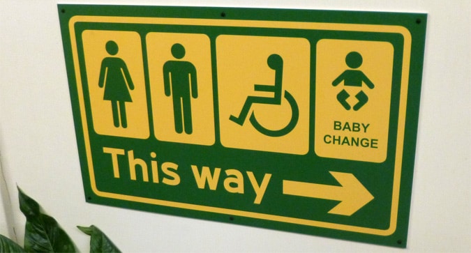
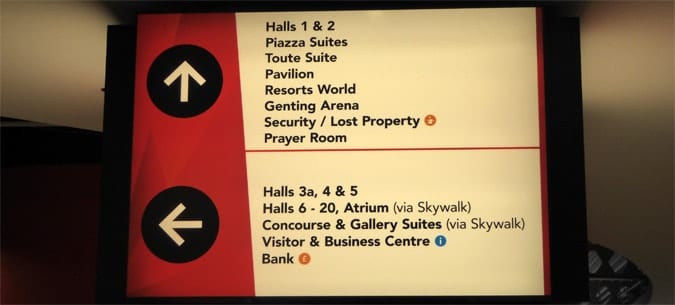
Thus, we need a backup system and non-digital solutions, such as standard signage, for wayfinding in both indoor and outdoor environments.
Regardless of the above-mentioned drawbacks, however, indoor mapping is exciting both for business owners and for users. Further benefits in the future are also likely to include crowd control, safety, and security.
Furthermore, the possibility now exists to begin to create a seamless mapping that combines outdoor mapping (via GPS) with indoor mapping (such as via Blue Dot). For now, though, the barrier to entry continues, for those without a budget the size of Gatwick, to be the cost of installing the number of beacons necessary for indoor mapping.

Dr Paul Symonds has a PhD in Wayfinding from Cardiff Metropolitan University in the UK. Paul works with the signage industry, airports and other locations providing wayfinding audits, consultancy and training.

